SkEyesBox-II
Configuration
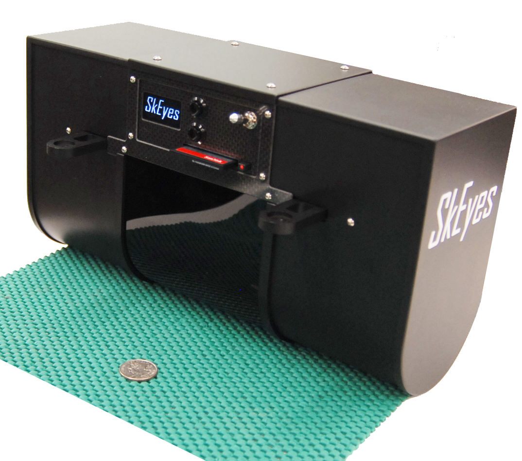
The SkEyes-Box II builds 3D geo-registered point-cloud maps of the surrounding environment. A time-of-flight pulsed laser senses range to objects while a tightly synchronized inertial navigation system (INS) maintains the global position and direction of the laser emitter. Knowing where the laser is and where it is pointing to, the system can then use the sensed range to calculate the global position of the reflecting objects. The system integrates a custom-built laser (905 nm, pulsed with 4-return tracking) and scanner mechanism (planar push-broom configuration) with a tightly synchronized (1 µs resolution) INS integrating a tactical-grade (<1°/h drift rate) MEMs inertial measurement unit (IMU) and an RTK GPS receiver.
The laser rangefinder measurement rate is 100,000 samples/s
(100KHz) and the mirror rotation rate is up to 50Hz.
The
point-cloud density depends on mapping speed. Faster flight
reduces the map resolution while covering a larger area.
Specifications
Please download the PDF files below:
- SkEyesBox-II Spec sheet SkEyesBox2.pdf 377K